Log in
All resources
Create a design
Tools
308,624 Free Images of Pages With Maps
cc-zero
architecture
uploaded with vicuñauploader
cemetery in apolda
alpirsbacher
kriegerdenkmal (aying)
photos imported with import-500px
balduinstein
burnontige
corus quay
self-published work
alpirsbacher
self-published work
alpirsbacher
self-published work
alpirsbacher
self-published work
pages with maps
self-published work
pages with maps
balduinstein
wood
self-published work
pages with maps
self-published work
balduinstein
self-published work
pages with maps
self-published work
pages with maps
self-published work
hillside
self-published work
pages with maps
self-published work
pages with maps
self-published work
architecture
self-published work
architecture
self-published work
architecture
self-published work
architecture
pages with maps
cc-zero
self-published work
pages with maps
self-published work
pages with maps
self-published work
pages with maps
self-published work
pages with maps
self-published work
pages with maps
self-published work
architecture
self-published work
pages with maps
self-published work
pages with maps
self-published work
pages with maps
self-published work
pages with maps
self-published work
pages with maps
pages with maps
cc-zero
self-published work
pages with maps
self-published work
pages with maps
self-published work
pages with maps
self-published work
pages with maps
self-published work
casina
pages with maps
capoeira
self-published work
pages with maps
pages with maps
cc-zero
self-published work
pages with maps
self-published work
pages with maps
self-published work
pages with maps
uploaded with vicuñauploader
pages with maps
uploaded with vicuñauploader
pages with maps
uploaded with vicuñauploader
pages with maps
uploaded with vicuñauploader
pages with maps
self-published work
pages with maps
self-published work
pages with maps
architecture
roof
self-published work
pages with maps
self-published work
pages with maps
self-published work
pages with maps
self-published work
pages with maps
self-published work
inside
self-published work
pages with maps
self-published work
roof
uploaded with vicuñauploader
pages with maps
self-published work
architecture
architecture
town
grass
rural
pages with maps
cc-zero
self-published work
architecture
self-published work
pages with maps
self-published work
architecture
self-published work
architecture
self-published work
architecture
self-published work
architecture
self-published work
architecture
self-published work
architecture
self-published work
architecture
self-published work
pages with maps
self-published work
pages with maps
self-published work
lawn
self-published work
pages with maps
self-published work
triptis
pages with maps
dourado
self-published work
pages with maps
pages with maps
cc-zero
pages with maps
cc-zero
pages with maps
ey
pages with maps
cc-zero
pages with maps
biaroza
self-published work
pages with maps
self-published work
pages with maps
self-published work
pages with maps
self-published work
field
self-published work
pages with maps
self-published work
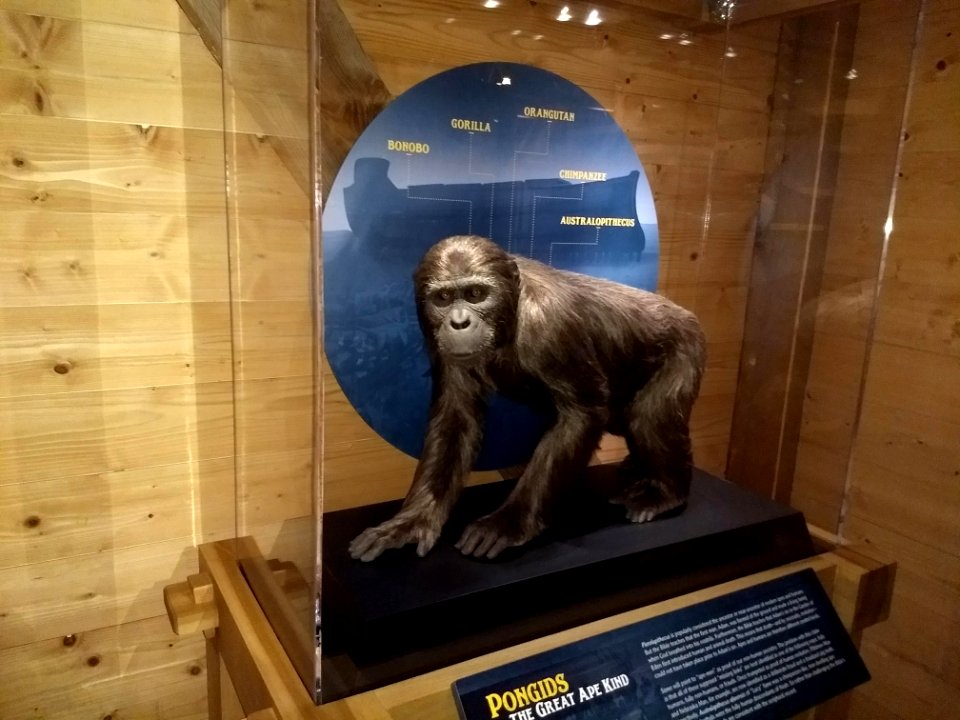
ark encounter
self-published work
ark encounter
self-published work
aké
self-published work
drug
self-published work
pages with maps
buddhism in thailand
people
self-published work
pages with maps
self-published work
pages with maps
self-published work
pages with maps
self-published work
pages with maps
self-published work
pages with maps
self-published work
pages with maps
self-published work
pages with maps
self-published work
pages with maps
6201 - 6300 of 308,624
Next page
/ 3087